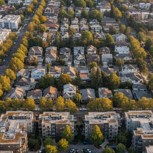
The median home price in Placer County has shifted over the last few years, drawing new residents from the Sacramento metropolitan area into Roseville, CA. Buyers looking at this region often prioritize local infrastructure, school district boundaries, and municipal services when deciding where to purchase a property. The steady population growth has transformed the city from a quiet railroad town into a major suburban hub.
Evaluating the question "Is Roseville, CA safe?" involves reviewing the latest numbers from the Roseville Police Department, understanding typical property crime rates, and looking at the current real estate market. City data provides a clear picture of what daily life looks like for residents in 2026. Relying on concrete statistics helps relocating buyers separate regional assumptions from local realities.
Understanding local safety requires looking beyond broad state averages and focusing on specific ZIP codes. Real estate trends, emergency response capabilities, and civic amenities all play a role in how a city functions on a daily basis. Buyers relocating from outside of California often need this local context to evaluate property listings accurately.
2026 Crime Statistics and Local Data
Overall crime in Roseville sits about 45% below the national average for 2026. The city maintains a low rate of violent incidents, with a resident's chance of experiencing one falling around 1 in 459. These figures reflect municipal efforts to maintain public safety as the population increases across Placer County, CA.
Violent crime encompasses offenses like aggravated assault and robbery, which remain statistically low within the city limits. The police department attributes this low rate to proactive community policing and visible patrol units in commercial districts. Most residential neighborhoods report very few incidents in these categories year over year.
Property crime rates in the city track closer to the national average. Basic theft and vehicle-related incidents make up the largest portion of local property crimes reported within the city limits. Opportunistic property crime often clusters around large commercial parking lots rather than residential streets.
Residents living near major commercial hubs like the Westfield Galleria often see higher concentrations of retail-related theft. The influx of daily shoppers from the broader Sacramento, CA region increases the volume of reported incidents in these specific retail zones. The presence of the largest auto mall in the region also creates targets for property-related offenses.
The Roseville Police Department tracks these statistics using the National Incident-Based Reporting System. This federal reporting standard provides detailed categorizations of offenses, helping local authorities allocate resources to specific ZIP codes. Accurate data collection allows the department to deploy officers where data shows the highest concentration of property offenses.
Police Infrastructure and Emergency Medical Services
The local 9-1-1 dispatch center processes approximately 155,000 calls annually from residents and visitors. Dispatchers utilize Emergency Medical Dispatch protocols to provide immediate medical instructions over the phone while first responders travel to the scene. This system ensures patients receive guidance during the minutes before an ambulance arrives.
The police department operates under the direction of Chief Erika Scheider and has expanded staffing to cover growing residential sectors. The expansion of Police Beat 8 on the west side of the city reflects the increase in new housing developments in that area. Additional patrol units in West Roseville help maintain response times as the city limits push further outward.
Municipal law enforcement frequently coordinates with neighboring agencies in Rocklin, CA and Folsom, CA. This regional approach helps manage traffic enforcement along shared corridors like Highway 65. Cross-jurisdictional communication ensures that property crime rings targeting suburban retail centers face a unified response from multiple departments.
Emergency medical care is anchored by Sutter Roseville Medical Center, a Level II Trauma Center serving Placer County. This facility provides advanced surgical and critical care services for residents across the broader Sacramento metropolitan area. The presence of a major trauma center within city limits reduces transport times for critical medical emergencies.
The city also maintains a robust fire department equipped for both structural fires and wildland response. Fire stations are strategically placed to ensure rapid deployment to older neighborhoods with mature trees and newer subdivisions bordering open agricultural land. This infrastructure directly impacts local home insurance rates and safety ratings.
Real Estate Market Trends and Property Types
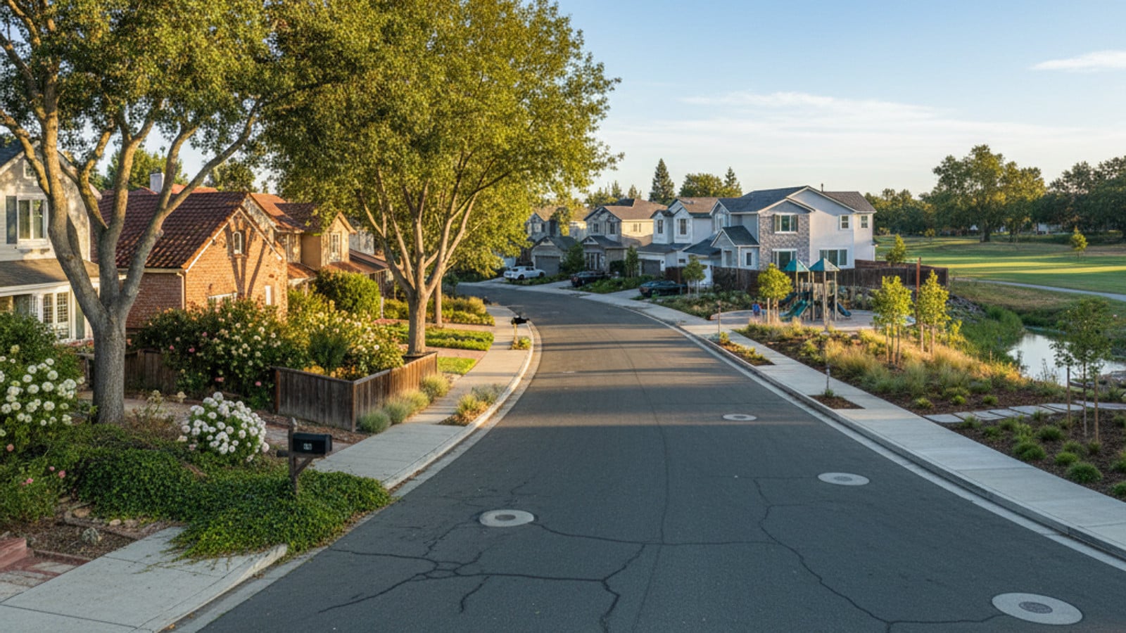
The median home price in Roseville, CA currently ranges between $625,000 and $650,000. Available homes spend an average of 19 days on the market before going under contract. Buyers entering the market in 2026 face consistent competition for single-family homes priced near the city median.
The housing inventory includes older established developments with mature trees alongside newer master-planned communities. Buyers evaluating the local market will find that housing styles vary sharply depending on which side of Interstate 80 they choose. The eastern side of the city borders Granite Bay, CA and features custom estates on larger lots built in previous decades.
West Roseville offers a different housing landscape dominated by recent construction. Neighborhoods like Westpark Village and Fiddyment Farm feature modern construction and specific community guidelines overseen by local HOAs. Buyers purchasing in these newer subdivisions should factor Mello-Roos taxes into their monthly housing budget.
Buyers often look at areas like Foothills Junction for different lot sizes and property styles. Proximity to retail centers like the Fountains at Roseville influences local property values and daily traffic patterns. Homes located within a short distance of these amenities often command higher median prices than identical floor plans further out.
When evaluating a purchase, buyers should review the specific property tax rate for their target ZIP code. Base property taxes in California are governed by state law, but local assessments for schools and infrastructure vary by neighborhood. A local real estate agent can provide the exact tax breakdown for any active MLS listing.
Public Schools, Parks, and Regional Commuting
Two primary districts manage the public education system within the city limits. The Roseville City School District handles elementary and middle school education, while the Roseville Joint Union High School District oversees the high schools. Buyers with specific school preferences should verify boundary maps before submitting an offer on a home.
The municipal park system includes over 80 city parks and an extensive network of paved multi-use paths. The outdoor infrastructure features:
The Miner's Ravine Trail system for off-street cycling.
Dozens of neighborhood playgrounds and sports fields.
Connected greenbelts linking residential subdivisions to retail centers.
The city maintains a robust recreation department that manages aquatic centers, public golf courses, and community centers. The Maidu Community Center and the Roseville Aquatics Complex serve as primary gathering points for local events. These municipal amenities draw buyers who prioritize outdoor recreation in their home search.
Drive times to downtown Sacramento typically range from 25 to 40 minutes depending on morning traffic congestion. Commuters also utilize the Capitol Corridor train service located in Old Town Roseville for an alternative route into the state capital.
Highway 65 provides a secondary transit route connecting Roseville to neighboring cities like Lincoln and Rocklin. Traffic volume on this highway peaks during standard commute hours and weekend shopping periods. Buyers evaluating homes near the Highway 65 interchange should drive the route during rush hour to gauge daily travel times.
Frequently Asked Questions
How do crime statistics vary by neighborhood in Roseville?
Data shows that commercial corridors report more retail theft and vehicular break-ins than residential subdivisions. Areas with high foot traffic near Folsom, CA or the main shopping districts require different policing strategies than the master-planned communities on the west side.
What is the median home price in Roseville, CA?
Buyers can expect to pay around $625,000 to $650,000 for a typical single-family home. Prices fluctuate based on the specific ZIP code, the age of the property, and the home's proximity to major trail systems or schools.
Is property crime common in Roseville?
While violent offenses remain rare, property-related offenses track closer to standard national figures. Residents should lock their vehicles and secure personal belongings, especially when parking in large retail lots along Highway 65.
Check out this article next