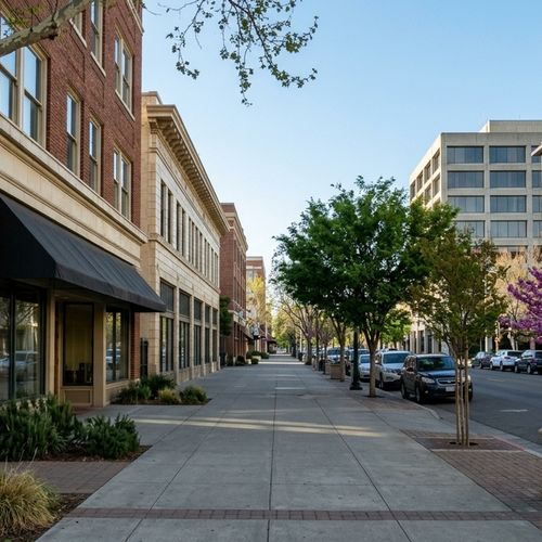


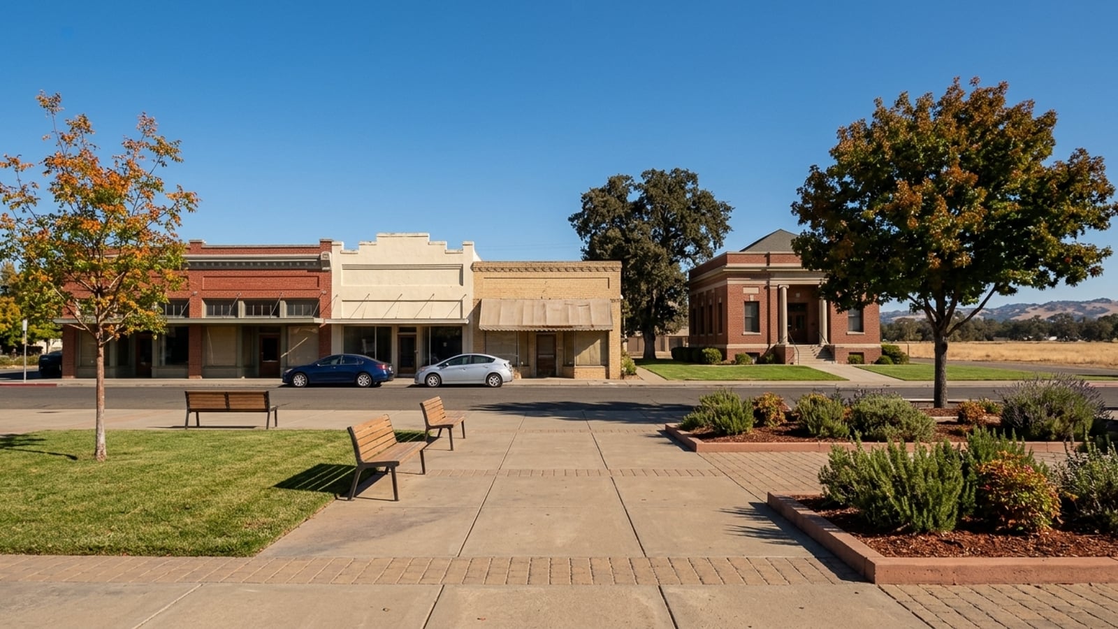
Roseville's history is written directly into what's for sale today. The railroad built only a compact center around Old Town and Vernon Street, while late-20th-century master planning built most of the rest as detached houses.
That timeline explains why 497 of the 519 homes sold in the 90 days ending September 30, 2026, were single-family homes. A buyer who wants historic character is shopping a narrow slice of the city. A buyer who wants a condo is shopping a tiny, softening segment with a $334,966 median based on only 15 recent sales.
At a Glance
- All homes, median sale price: $629,700 (90 days ending 2026-09-30), down 0.8% year over year
- All homes, homes sold: 519 (90 days ending 2026-09-30)
- All homes, median days on market: 28 (90 days ending 2026-09-30)
- All homes, sale-to-list: 99.3%, with 27.6% sold above list (90 days ending 2026-09-30)
- All homes, months of supply: 2.3, with 383 homes in inventory (90 days ending 2026-09-30)
- All homes, median price per square foot: $331 (90 days ending 2026-09-30)
- Single family, median sale price: $634,747 (90 days ending 2026-09-30), down slightly year over year
- Single family, homes sold: 497, with 28.8% sold above list (90 days ending 2026-09-30)
- Single family, months of supply: 2.2, with 361 in inventory (90 days ending 2026-09-30)
- Condo, median sale price: $334,966 (90 days ending 2026-09-30), down 13.2% year over year, based on only 15 condo sales
- Condo, median days on market: 23; sale-to-list: 97.9%; sold above list: 0% (90 days ending 2026-09-30, 15 sales)
- Condo, months of supply: 1.7, with 8 in inventory (90 days ending 2026-09-30, 15 sales)
Key Takeaway
Roseville began as a railroad junction, and the rail era left a small historic core around Old Town and Vernon Street, while master-planned growth from the late 20th century on built most of today's city. That history still shapes the market, with just 15 condos selling recently against hundreds of detached houses. If you want history you can walk to, start downtown. If you want newer construction, look to the planned neighborhoods to the west and north.
Who This Guide Is For
Anyone considering a home in Roseville who wants to understand how the city grew, so they can tell its older railroad-era core from its newer planned neighborhoods before narrowing a search.
How Roseville Began and Grew
In 1864, a Central Pacific Railroad track-laying crew building the transcontinental railroad intersected with the California Central Railroad at a spot called Grider's. By April of that year, trains ran daily from Sacramento to this crossing point, which was named "the Junction" and eventually became Roseville.
The settlement grew in two very different waves, starting as a railroad town before expanding into a master-planned city. That sequence explains the sharp contrast between the older homes near the tracks and the subdivisions covering the rest of the map today.
How Roseville Got Its Name
The City of Roseville's official history notes there's no single confirmed explanation for the name change from Junction to Roseville. The name may come from the nearby Rose Springs ranch, honor a woman named Rose Maberry, or stem from a dispute among railroad men over a waitress named Rose.
Another theory suggests picnic-goers named the town after a beautiful girl named Rose, but the most supported version points to the abundance of wild roses growing in the area's ravines. The naming story is told more than one way, and the city's own page is the safest source. Readers who want the full account should visit the Roseville Historical Society.
When Roseville Was Founded and Incorporated
Southern Pacific relocated its rail operations from neighboring Rocklin to Roseville in the early 1900s. The transfer of the Rocklin roundhouse, its workforce, and machinery to Roseville was completed in April 1908, turning a small stop into a company town almost overnight.
Roseville, California was then incorporated on April 10, 1909. Incorporation set the original city limits around the rail core, which is why truly historic housing is concentrated in a small area while most of today's city lies outside that original footprint.
Railroad Roseville: Old Town and Downtown
Union Pacific's J.R. Davis Yard in Roseville is a 950-acre facility, described by the company as the largest rail yard in the West. It handles 98 percent of regional rail traffic, and Old Town grew up facing these very tracks.
The yard operated as the city's economic engine, shaping the commercial and residential blocks around it. Today this area holds the city's oldest buildings and monuments, offering a walkable environment that contrasts with the newer suburban rings.
Old Town and the Rail Yard
Old Town features several monuments you can visit, including the Transcontinental Railroad monument at Washington Boulevard. There's also the railroad workers' memorial at the Amtrak station on Pacific Street and the steam engine snowplow on Atlantic Street.
The yard is still working, so homes close to it can hear rail activity. Visit a property at night and early morning before making an offer to judge the rail noise yourself. Ask the city if a property sits in the Old Town historic district and which design guidelines apply before you plan any exterior work.
Downtown and Vernon Street
Vernon Street became the commercial main street as the town grew around the railroad. The area features the Carnegie Library, built in 1912 with help from philanthropist Andrew Carnegie and now operating as a museum run by the Roseville Historical Society.
Homes near downtown are generally the oldest in the city, so budget for an inspection that looks closely at original wiring, plumbing, and sewer lines. Confirm Carnegie Museum hours with the Roseville Historical Society before visiting, since they're limited to Tuesday through Friday afternoons.
How Roseville Grew After World War II
The HP manufacturing site in Roseville opened in 1987, producing computer systems and servers on a campus that eventually covered about 500 acres. Large employers and retail arrivals changed Roseville from a rail town into a regional job and shopping hub.
Interstate 80 tied the city to Sacramento, pulling residential growth outward from the historic center. Postwar tract housing formed a ring around the core, and then tech employers and freeway access pulled development further east and west.
Postwar Neighborhoods Near Downtown
A ring of mid-century subdivisions sits between the historic core and the later planned areas. Their appeal is a closer-in location and typically fewer special assessments than newer tracts.
These homes are now decades old, and original roofs, windows, and HVAC systems may be near the end of their life. Request permit history and the age of the roof, HVAC, wiring, plumbing, and sewer lateral before you price an offer.
How Tech Jobs and the Freeway Moved the City East
The arrival of the Hewlett-Packard campus and the opening of the Westfield Galleria at Roseville in August 2000 shifted the city's center of gravity. Interstate 80 connected this expanding job base directly to Sacramento, fueling a massive population surge over the following decades.
Growth along the I-80 corridor brought traffic with it. Check commute times from Roseville to see how peak-hour highway congestion might affect your daily drive.
Master-Planned Roseville
The Highland Reserve North Specific Plan covers 676 acres and includes 1,669 single and multi-family units, adopted in May 1997. This era built most of today's city through large planned communities with homeowner associations, parks, and newer homes.
These subdivisions introduced a different style of living than the older railroad core, with curved streets and integrated amenities. Buyers looking here trade historic character for modern layouts and community rules.
Sun City Roseville
Built by Del Webb between 1995 and 2000, Sun City Roseville has 3,110 homes in an age-restricted community. Each residence must be occupied by at least one person over the age of 55, and the development operates as a self-contained planned community with its own clubhouse and amenities.
Age-restriction and occupancy rules limit who can live in or rent a home there, which affects resale and rental plans. Ask the HOA for current dues, reserve study, and CC&Rs, including any age or rental restrictions, before you commit.
Highland Reserve
Highland Reserve developed in the late 1990s as a planned neighborhood featuring parks and paths typical of that era. It sits near the commercial centers that grew up around the Highway 65 corridor.
Planned neighborhoods of this era may carry Mello-Roos special taxes on top of the base property tax. Ask the seller for the Mello-Roos special-tax disclosure, including the annual amount and payoff year, and check how Mello-Roos and HOA costs work in Roseville.
Stoneridge
Stoneridge represents the continued eastward growth of the city's residential neighborhoods. Its location provides access to the nearby freeway corridor and the retail centers on the eastern side of town.
HOA rules and dues vary by sub-association within larger planned areas. Ask which associations a specific home belongs to and request current dues and reserve information.
West Roseville and New Developments
The city planned its western expansion through a specific plan, and builders are still adding homes today. This is the newest chapter of Roseville's history, and you can review new home developments in Roseville to see current builder options.
New construction here often comes with Mello-Roos assessments and young landscaping. Ask the builder for the full special-tax amount and how many years it runs before you compare it with an older home.
Older vs. Newer Roseville Homes Today
Single-family homes in Roseville sold for a median of $634,747 in the 90 days ending September 30, 2026, with 28.8% selling above list price. Expect competition on well-priced houses in both the historic core and the newer subdivisions.
The questions worth sitting with: Do you want to walk to historic sites, the Carnegie Museum, and downtown, or do you want newer construction and larger lots? The first points to the railroad-era neighborhoods; the second points to the master-planned areas. Are you comfortable taking on an older home's upkeep in exchange for location and character, or would a condo work for you given how few come up for sale? Weighing the pros and cons of living in Roseville can help clarify these choices.
Condos sold at 97.9% of list with 0% above list and fell 13.2% year over year, which suggests negotiating room, but this rests on only 15 sales and just 8 were listed. Will Mello-Roos special taxes and HOA dues fit your monthly budget, since planned neighborhoods often carry both? Review property taxes in Roseville and typical HOA fees to compare costs, and check the Roseville housing market page for broader trends. Made 4 More Realty can pull recent sales in a specific era's neighborhood to help you compare.
Roseville, CA History FAQs
What County Is Roseville, CA In?
Roseville is in Placer County and borders Sacramento County. It rests 16 miles north of Sacramento, positioned along I-80 and Highway 65.
Is Roseville Its Own City?
Yes. It's an incorporated city with its own government, separate from Sacramento. Roseville, California was incorporated on April 10, 1909.
Is Roseville Past Sacramento?
Roseville lies northeast of downtown Sacramento along Interstate 80. It's located 16 miles north of the state capital, and you can check commute guides for typical drive times.
Is Roseville, CA in a Flood Zone?
Some areas along Dry Creek and its tributaries have flooded in the past, including major floods in February 1986 and January 1995 that affected portions of downtown Roseville. Look up the specific address on the FEMA Flood Map Service Center and ask about flood insurance requirements.
How Has Roseville's Population Changed over Time?
The population grew from 2,608 residents in the 1910 census to 147,773 residents in the 2020 census. This growth ties directly to the shift from an early railroad town to a postwar and master-planned city.
Is Roseville, CA a Wealthy Area?
The all-homes median sale price in Roseville was $629,700 in the 90 days ending September 30, 2026, matching the figure in the At a glance section above. You can review local cost-of-living guides to see how housing prices compare to the surrounding region.
Sources
- Redfin: Data Center
- City of Roseville: History of Roseville
- Placer County LAFCO: City of Roseville
- City of Roseville Police Department: History
- City of Roseville Public Library: Local History Center
- Union Pacific: Roseville Tour
- Hewlett Packard History: On Board in Roseville
- Sun City Roseville: Homes
- City of Roseville: Highland Reserve North Specific Plan
- City of Roseville: Demographics
- City of Roseville: High Water Mark
Check out this article next