If you are thinking about moving to Lincoln, you probably already know it offers a distinct change of pace from the hustle of Sacramento or the density of the Bay Area. It sits in that sweet spot where suburban convenience meets rural charm. But practically speaking, how do you actually get around here?
As we move through 2026, Lincoln continues to define itself as a commuter-heavy town with a very unique twist on local travel. While most residents own cars for their daily haul to work or big shopping trips, the city has leaned hard into alternative ways to handle local errands. Whether you are navigating the morning rush on Highway 65 or zipping to the grocery store in a street-legal golf cart, understanding the lay of the land is key to enjoying life here.
Driving in Lincoln: Major Roads and Traffic Patterns
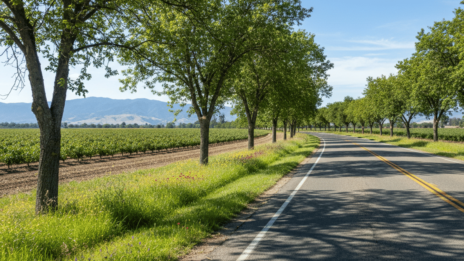
For the vast majority of residents, the car is king. The city is anchored by Highway 65, which serves as the primary lifeline connecting us to the rest of Placer County. If you are heading south toward the job hubs, this is your main route. The "Bypass" moves traffic around the downtown area, but you should be prepared for congestion points, specifically where the highway narrows or merges near the Twelve Bridges exit.
Connecting to the wider world usually means heading to Interstate 80. Most locals connect to I-80 in Roseville via the Galleria Boulevard or Eureka Road exits. It is a straightforward drive, but timing is everything. Inside Lincoln itself, surface streets like Ferrari Ranch Road, Joiner Parkway, and the historic Lincoln Boulevard act as the internal skeleton of the city. These roads are generally wide and well-maintained, handling the internal flow of traffic fairly well.
However, we have to be honest about the traffic reality. If you are commuting during peak hours—roughly 7:00 to 9:00 AM leaving the city and 4:00 to 6:00 PM returning—you will hit delays. It is just part of living in a growing area. The drive to Roseville typically takes about 15 minutes in clear traffic, but during rush hour, you will want to pad that time significantly.
The NEV Lifestyle: Golf Carts Aren't Just for Golf
This is the part of living in Lincoln CA that usually surprises newcomers the most. You will see small, electric vehicles everywhere, and they aren't just for a round of 18 holes. Lincoln is famous for its extensive Neighborhood Electric Vehicle (NEV) infrastructure.
It is important to understand the difference between a standard golf cart and an NEV. An NEV is street-legal, has a license plate, seatbelts, lights, and tops out at 25 mph. While Sun City Lincoln Hills was the pioneer of this lifestyle, the network of dedicated NEV lanes has expanded well beyond the active adult communities. You will find these lanes stretching into the Twelve Bridges area and connecting to major commercial centers.
For many residents, the NEV is the "second car." The city has designed the roads so you can take your NEV to the grocery store, medical appointments, the library, and local restaurants. There are even dedicated parking spots and charging stations at places like the Lincoln Hills Town Center. Legally, these vehicles can drive on streets with speed limits up to 35 mph, but the real beauty is using the separate, designated lanes that keep you away from faster car traffic.
Public Transportation Options
While driving is the default, Placer County Transit (PCT) provides reliable service for those who prefer not to drive or are commuting to regional hubs. The system is straightforward and covers the essential areas of town.
- Lincoln Circulator (Route 70): This is a loop route that hits the high-traffic spots, including Downtown Lincoln, Walmart, the High School, and the Library. It’s great for local errands if you don't have a car.
- Regional Connections: If you need to leave the city, Route 20 connects the Lincoln Library to Sierra College in Rocklin. From there, you can transfer to Roseville Transit to go further south.
- Dial-A-Ride: In mid-2025, the fixed-route Taylor Road Shuttle was converted to a Dial-A-Ride service. This is an on-demand option that is particularly helpful for seniors or residents living slightly outside the main bus corridors.
- Commuter Options: For those working in Downtown Sacramento, the Placer Commuter Express makes stops nearby, offering a way to skip the stress of driving I-80 during rush hour.
Walkability and Cycling in Lincoln
When people ask if Lincoln is walkable, the answer depends entirely on where you are standing. If you are in Downtown Lincoln near Beermann Plaza, the area is incredibly pedestrian-friendly. You can easily walk to coffee shops, steakhouses, and boutiques in the historic district.
Moving out into the suburbs, walkability shifts from "running errands" to "recreation." The city has over 13 miles of neighborhood trails, including the popular Auburn Ravine trail system. These are fantastic for jogging, walking the dog, or a leisurely bike ride. The terrain here is mostly flat to rolling hills, which makes cycling accessible for most fitness levels.
For cyclists who commute, the infrastructure is solid. Major arteries like Joiner Parkway and Ferrari Ranch Road feature wide bike lanes or shared NEV lanes that provide a good buffer from cars. While you might not walk to the supermarket from the outer edges of Twelve Bridges, the trail system connects many neighborhoods to parks in Lincoln CA, making it easy to stay active without driving to a gym.
Commuting to Employment Hubs
If you are looking at Lincoln CA real estate, you likely have a commute to consider. The strategy changes depending on how far south you need to go.
Roseville and Rocklin This is a very common and manageable commute. While Highway 65 is the direct route, locals often use Industrial Avenue as a "back door" into Roseville when the highway is jammed. It runs parallel to the highway and can save you a headache on bad traffic days.
Sacramento Commuting to downtown Sacramento is the long haul. It typically takes 35 to 50 minutes, but weather and accidents can push that higher. The best strategy is shifting your hours if possible—leaving before 7:00 AM or after 9:00 AM makes a massive difference.
Remote Work With the rise of hybrid work, many residents only tackle the drive a few times a week. Newer developments in Lincoln generally have access to high-speed fiber internet, making working from home a seamless and attractive alternative to the daily grind. Casual carpooling is also common, with residents often meeting up at park-and-ride lots to share the fuel costs and the driving duties.
Airports and Long-Distance Travel
When it’s time to fly, you have a couple of options, though only one handles your vacation flights. Sacramento International Airport (SMF) is the main hub for commercial travel.
Here is a pro-tip that locals swear by: Do not take the freeway to the airport. Instead, take the rural route via Nicolaus Road. It cuts west across the farmland and drops you right near the airport, usually in about 35 minutes. It is a scenic drive that completely avoids the unpredictable traffic of I-80 and I-5.
You will also see planes taking off from Lincoln Regional Airport (LRA) on the west side of town. While it’s a major landmark and a hub for corporate and private aviation, you won't be catching a Delta flight out of here. It does, however, add to the ease of travel for private pilots and business owners.
Frequently Asked Questions
Is Lincoln CA walkable?
Downtown Lincoln is very walkable for dining and shopping. However, in the suburban neighborhoods like Twelve Bridges or Lincoln Crossing, walking is mostly recreational. You will likely need a car or NEV for grocery shopping and errands.
Does BART go to Lincoln CA?
No, BART does not extend this far north. The closest rail option is the Amtrak station in Roseville or Auburn, which provides the Capitol Corridor service into the Bay Area.
Can you drive a golf cart on the street in Lincoln CA?
You can drive a Neighborhood Electric Vehicle (NEV) on streets marked 35 mph or lower if it is registered and plated. Standard, unregistered golf carts are generally restricted to golf courses and private property, not public roads.
How is the commute from Lincoln to Sacramento?
It is a standard suburban commute that can be heavy during peak hours. Expect a 35 to 50-minute drive depending on traffic flow on Highway 65 and I-80. Many locals advise leaving early in the morning to beat the worst of the congestion.
Does Lincoln have its own bus system?
Lincoln is served by Placer County Transit (PCT). The Lincoln Circulator covers key spots within the city, while other routes connect you to Sierra College and regional transit hubs in Roseville.
Check out this article next