Citrus Heights sits roughly 15 miles northeast of downtown Sacramento, making it a popular choice for commuters working in the state capital or neighboring Placer County. The city occupies a central spot between Interstate 80 and Highway 50. This location gives residents multiple ways to reach regional employment centers.
Most locals rely on a personal vehicle for their daily trips, though public transit lines run through the main commercial corridors. Understanding the road network and available bus routes helps buyers choose the right neighborhood for their daily routine. Travel times shift during morning and evening rush hours, so mapping out the commute should be part of your home search.
Daily Commutes and Major Driving Routes
Interstate 80 serves as the primary highway for residents heading west into downtown Sacramento or east toward Roseville. A typical morning drive to the downtown core takes 20 to 30 minutes, depending on your exact departure time. Evening return trips often take slightly longer as traffic builds near the Madison Avenue and Greenback Lane exits.
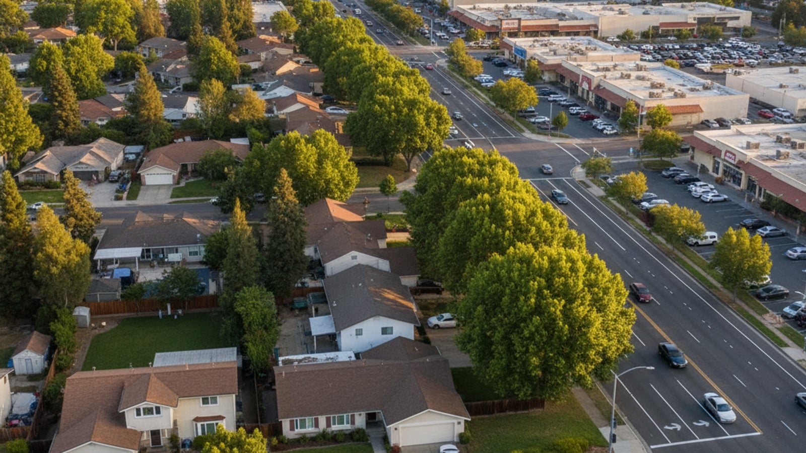
Within the city limits, a grid of major surface streets handles most local traffic. Greenback Lane runs east to west, connecting Folsom to Interstate 80, while Sunrise Boulevard and Auburn Boulevard serve as the main north-to-south arteries. These roads handle a large volume of traffic during peak retail hours, especially near the commercial centers.
Buyers should test their potential commute during normal work hours before making an offer. A home located near the Roseville border might add five to ten minutes to a downtown Sacramento drive compared to a property near the southern edge of town.
Public Transportation Options and SacRT Services
The Sacramento Regional Transit District (SacRT) operates the bus and light rail network across the county. Several local bus routes travel along Greenback Lane, Sunrise Boulevard, and Auburn Boulevard. These buses connect riders to nearby light rail stations, as the trains do not run directly through the city.
Commuters heading downtown typically take a bus to the Watt/I-80, Roseville Road, or Historic Folsom light rail stations. Once on the train, the ride into the city center avoids highway traffic entirely. A standard single ride costs $2.50, and riders pay using cash, a transit card, or the SacRT mobile app.
For trips within the immediate area, the SacRT Flex on-demand shuttle provides point-to-point service. This program replaced the older SmaRT Ride system and requires riders to book their trip through a smartphone app. Discounts on all SacRT fares apply for seniors, students, and individuals with disabilities.
Walking Paths and Bike Lanes
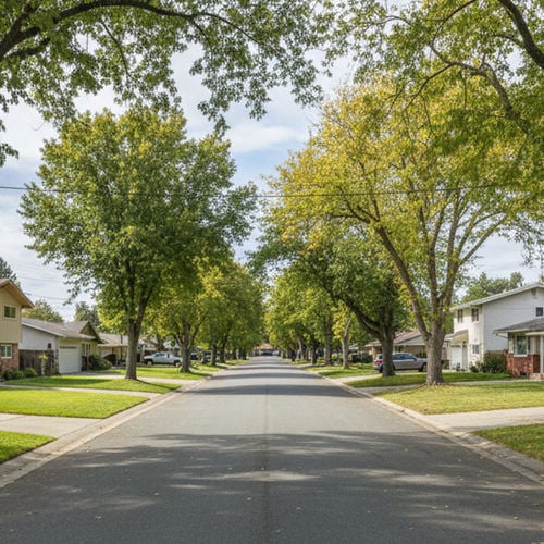
Citrus Heights is primarily a suburban, car-dependent community, but certain pockets offer better pedestrian access than others. Sidewalks line the major commercial zones, making it possible to walk to grocery stores, restaurants, and shopping centers like Sunrise Mall. Residential neighborhoods built in the 1970s and 1980s generally feature continuous sidewalks and wide streets.
The city has added dedicated bike lanes along several main corridors over the last few years. Auburn Boulevard recently received infrastructure upgrades that include improved pedestrian crossings and wider paved shoulders. Cyclists use these lanes to reach local parks or connect to longer regional routes like the American River Bike Trail in neighboring Fair Oaks, CA.
Buyers hoping to run daily errands on foot should focus their search near the Greenback Lane and Sunrise Boulevard intersection. Properties farther out in the residential subdivisions require a car or bicycle for most trips to the store.
Reaching the Airport and Regional Transit Hubs
Sacramento International Airport (SMF) sits approximately 22 miles northwest of the city. Drivers typically take Interstate 80 west to Interstate 5 north to reach the terminals. This drive takes 30 to 40 minutes under normal conditions, though travelers should allow extra time during morning rush hour.
Residents who prefer not to leave their car at the airport use ridesharing apps like Uber and Lyft, which maintain a steady presence in the area. Private shuttle services and local taxis also offer flat-rate trips to SMF. Several car rental agencies operate branch locations along Auburn Boulevard for visitors or residents needing a temporary vehicle.
For regional travel beyond the Sacramento area, the nearby Roseville Amtrak station provides access to the Capitol Corridor line. This train route connects the region directly to the San Francisco Bay Area.
Common Questions About Transportation
How do I travel from Sacramento to Citrus Heights without a car?
You can take the SacRT light rail Blue Line from downtown Sacramento to the Watt/I-80 station. From there, transfer to a local SacRT bus route, such as Route 1 or Route 25, which travel along the main corridors into town. The entire trip usually takes 45 minutes to an hour.
Is the Sacramento light rail free?
Standard light rail fares cost $2.50 per ride. Students in grades K-12 ride for free through the RydeFreeRT program. Discounted passes are also available for seniors, individuals with disabilities, and Medicare cardholders.
Can I rent a car or use ridesharing in Citrus Heights?
Uber and Lyft drivers operate consistently throughout the area, with wait times usually under ten minutes. Several major car rental agencies, including Enterprise and Hertz, have offices located along Auburn Boulevard and Sunrise Boulevard.
How far is Citrus Heights from the airport?
Sacramento International Airport is roughly 22 miles away. A midday drive takes about 35 minutes via I-80 and I-5. If you book an early morning flight, plan for the trip to take closer to 50 minutes due to commuter congestion.
Check out this article next