Rocklin sits about 22 miles northeast of downtown Sacramento along the Interstate 80 corridor. This location places residents at a central point between the major employment hubs of the Sacramento Valley and the outdoor recreation of Lake Tahoe.
Getting Around Rocklin, CA, requires understanding a mix of personal vehicles, regional rail, and local bus networks. Most residents use a car for grocery runs and school drop-offs, but public transit and trail systems offer alternatives for specific routes. Drive times and transit access vary noticeably depending on which side of the city you choose to live.
Driving the Main Highways and Local Roads
Interstate 80 serves as the primary artery connecting Rocklin to the rest of Northern California. Drivers heading west can reach downtown Sacramento in 25 to 40 minutes, depending on morning departure times. Taking I-80 east points residents directly toward the Sierra Nevada mountains, making weekend trips to Lake Tahoe a straightforward drive.
State Route 65 branches off from I-80 just south of the city limit, providing a direct route to neighboring Roseville and Lincoln. The interchange where these two highways meet often sees the highest volume of morning and evening traffic. Commuters traveling through this junction should add an extra 10 to 15 minutes to their estimated travel times during peak hours.
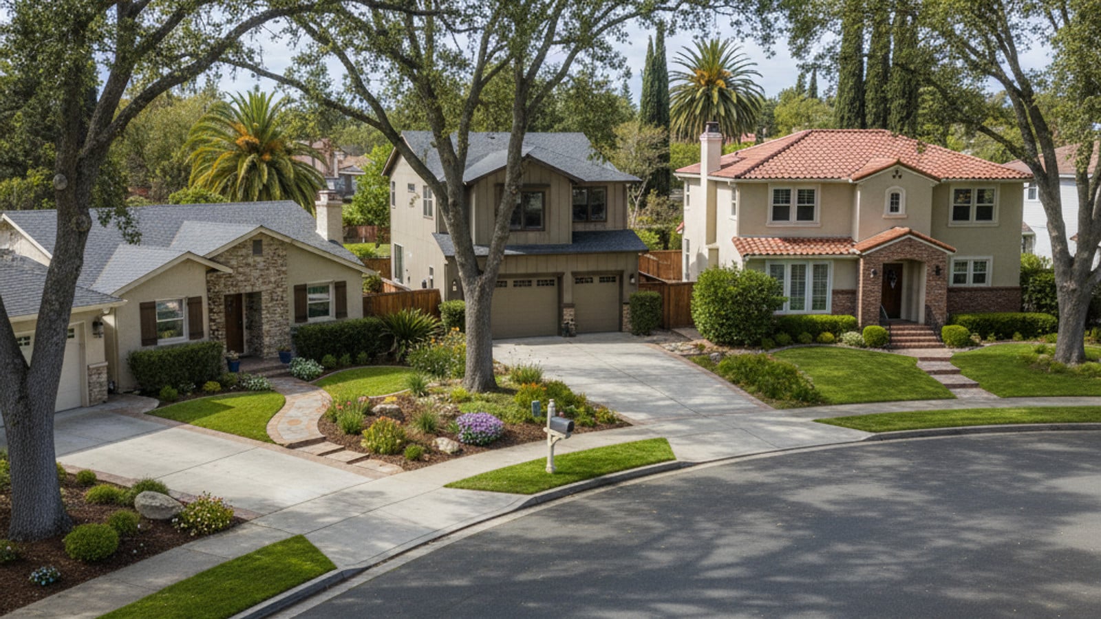
Within the city limits, traffic flows along a few major east-west and north-south corridors. Sunset Boulevard, Rocklin Road, and Pacific Street form the core grid for local errands. Buyers looking at properties near these main roads will find quick access to grocery stores and retail centers, though they should also factor in higher daily traffic volumes.
Many residential developments feature wide streets with ample parking, though some newer subdivisions have narrower roads managed by local HOAs. Buyers moving from denser urban areas often find the driving experience here much less congested.
Local Bus Services and Regional Routes
Placer County Transit operates the primary public transport bus service across the region. Their network connects local neighborhoods to major commercial centers, medical facilities, and educational institutions. Fares are collected upon boarding, and riders can purchase monthly passes for regular use.
Route 20 stands out as one of the most frequently used lines within the city. This route runs from Lincoln through Rocklin, making scheduled stops at Sierra College. Riders heading to campus often use this line to bypass parking, while other residents use it to reach retail centers along the highway corridor.
For door-to-door service, Placer County Transit offers a Dial-A-Ride program covering Rocklin and neighboring Loomis. This shared-ride service requires advance booking and operates on a flexible routing system. It provides a practical link for residents who need direct transportation to medical appointments or specific retail centers.
The Placer Commuter Express
Route 60, known as the Placer Commuter Express, offers a direct weekday service for professionals working in downtown Sacramento. The buses feature upgraded seating and free Wi-Fi, allowing riders to work during the morning drive.
This commuter service runs on a fixed morning and evening schedule aligned with standard office hours. Residents who prefer not to pay downtown parking garage rates or sit in I-80 traffic often use this route as their primary commute option.
Train Travel Through the Capitol Corridor
The local Amtrak station sits at the corner of Rocklin Road and Railroad Avenue in the Quarry District. This unstaffed stop features a platform, ticketing kiosks, and a dedicated parking lot for riders. The station serves as a boarding point for the Capitol Corridor, a regional passenger train line.
The Capitol Corridor route travels south through Sacramento and continues directly into the San Francisco Bay Area. Destinations along the line include Davis, Richmond, Emeryville, Oakland, and San Jose. Commuters heading to Bay Area offices or residents planning a day trip to San Francisco often choose the train to bypass the Bay Bridge toll plazas and highway gridlock.
The train itself provides a comfortable alternative to highway travel, featuring onboard Wi-Fi, spacious seating, and a cafe car. Riders can plug in their laptops and work during the journey, turning commute time into productive hours.
Train schedules adjust seasonally, and travel times to Sacramento hover around 35 minutes. Buyers planning to use rail transit regularly should check the current timetable, as the frequency of departures from the Rocklin station is lower than from the larger hub in nearby Roseville.
Cycling Infrastructure and Pedestrian Trails
Placer County maintains an extensive network of multi-use paths that separate cyclists and pedestrians from vehicle traffic. The Miners Ravine Trail represents the centerpiece of this system, offering miles of paved, off-street paths. This trail connects several neighboring communities and provides a continuous route for both exercise and local travel.
Surface streets also incorporate cycling infrastructure, with dedicated bike lanes marked along major routes like Sunset Boulevard. The city integrates walking trails directly into many residential subdivisions, allowing residents to reach local parks without walking on the shoulder of busy roads.
The region's Mediterranean climate allows for year-round cycling, though summer afternoons often push riders to hit the trails early in the morning. The growing popularity of e-bikes has also made the rolling foothill terrain more accessible for casual cyclists.
Walkability in the Quarry District
The area surrounding the train station, known locally as the Quarry District, features the highest concentration of pedestrian infrastructure in the city. Wide sidewalks, crosswalks, and slower speed limits make it easy to walk between businesses.
Residents living in or near this district can easily walk to grab a coffee, dine at local restaurants, or attend community events at Quarry Park. Buyers prioritizing a neighborhood where they can leave the car parked on weekends often focus their search here.
Driving to Sacramento International Airport
Sacramento International Airport (SMF) is the closest major flight hub, located roughly 25 to 30 miles from central Rocklin. The most direct route takes drivers west on I-80, then north onto Interstate 5. Under normal traffic conditions, the drive takes about 35 minutes from driveway to terminal.
Early morning and late evening flights usually guarantee a smooth drive, but travelers catching mid-day flights should monitor the I-80 and I-5 interchange for delays. Long-term parking is available at the airport in both covered garages and economy surface lots.
Travelers flying out of SMF will depart from either Terminal A or Terminal B, both of which are easily accessible from the main airport exit off I-5. The airport layout is straightforward, and security lines generally move faster than those at larger coastal hubs like San Francisco International.
Residents who prefer not to park at the airport have several alternative transportation options. Ridesharing companies like Uber, traditional taxi services, and private airport shuttles operate consistently throughout the area. Booking a ride in advance is a smart strategy for early morning departures.
Frequently Asked Questions
How long does it take to commute from Rocklin to Sacramento?
A standard drive down Interstate 80 to downtown Sacramento takes 25 to 40 minutes. Rush hour traffic can push that time closer to an hour, especially if delays occur near the Madison Avenue or Capital City Freeway exits. Taking the Placer Commuter Express bus offers a similar travel time without the stress of driving.
Does Rocklin have a train station?
Yes, the city has an unstaffed Amtrak station located at Rocklin Road and Railroad Avenue. It serves the Capitol Corridor line, providing direct passenger rail service to Sacramento and the San Francisco Bay Area.
What public transportation is available in Rocklin?
Placer County Transit provides the main local bus service, including routes to Lincoln, Sierra College, and downtown Sacramento. Dial-A-Ride services are also available for localized trips, and the Amtrak station connects residents to regional rail networks.
Check out this article next